


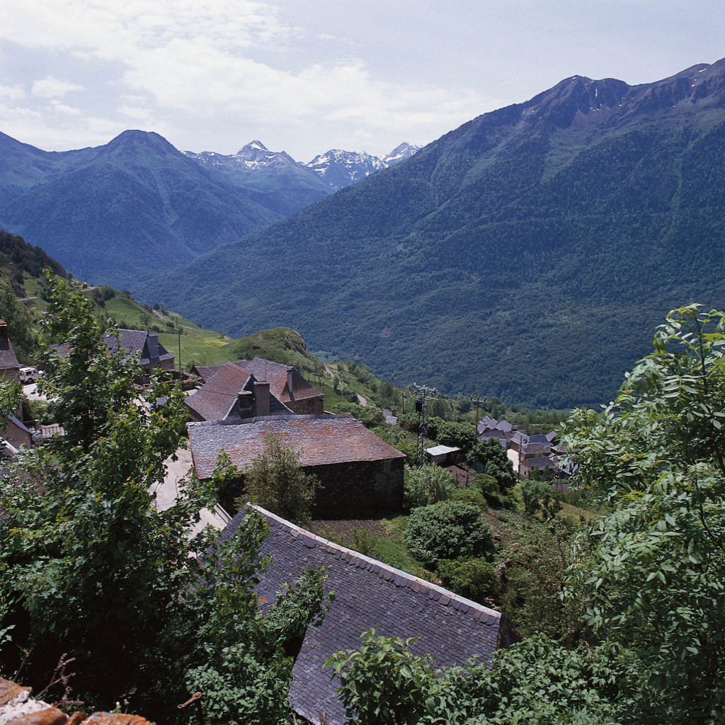
It is located on the left side of the Garona river just before it joins the river Toran, at the Northern end of Val d’Aran. It is the last inhabited village before Pònt de Rei. It is kind of an extension of Bausen and is made up of a combination of houses along the road. It is next to the road towards Sant Joan de Toran and Canejan, which starts at the bridge crossing the Garona river.
Altitude: 580 m. Surface: 8,580 km²
GPS Coordinates Latitude: 42°50′5.271″N Longitude: 0°43′48.37″E
Location
Eating

Heritage

Sleeping

Shopping
