


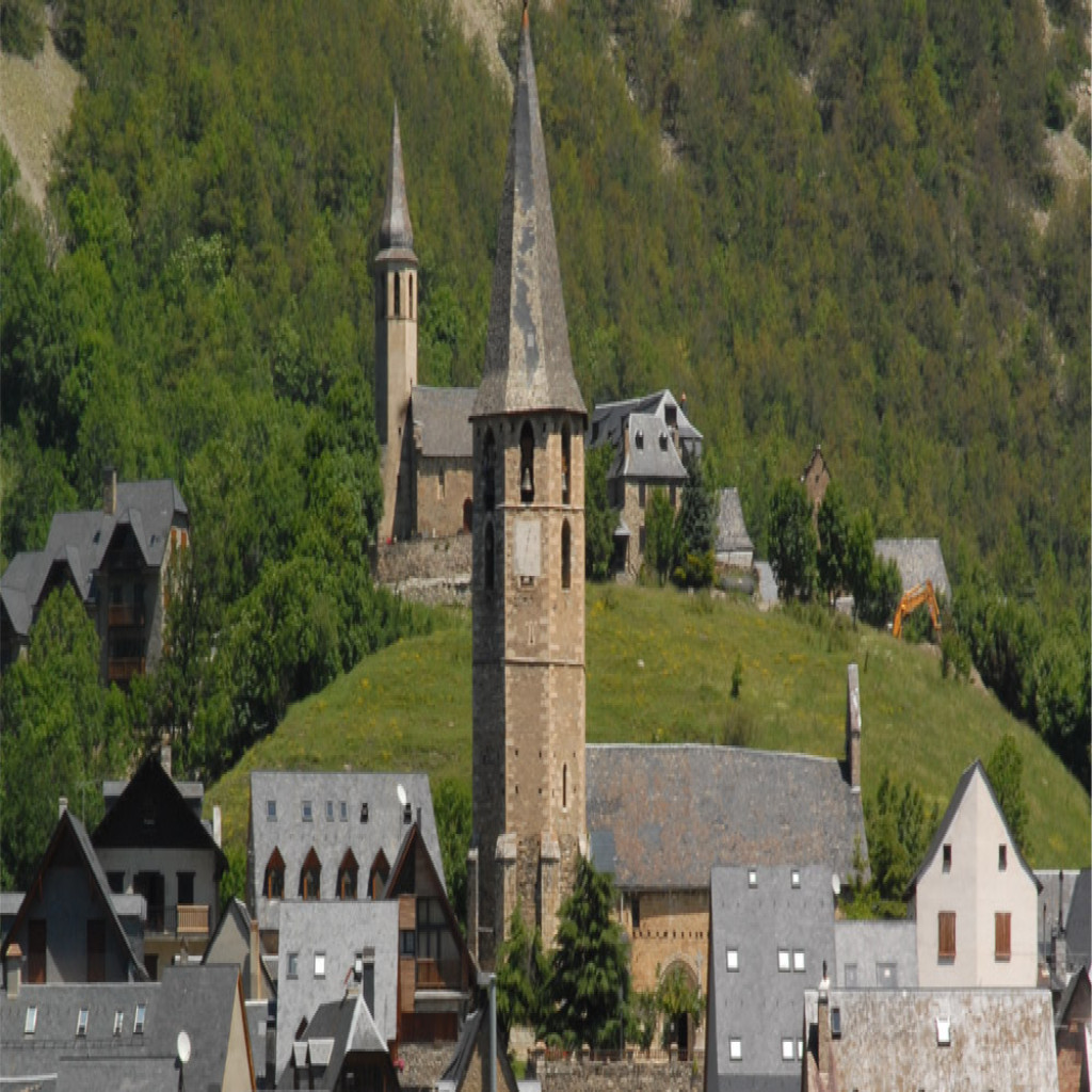
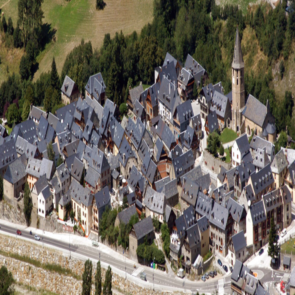
The municipality of Salardú became Naut Aran or Cap d’Aran after 1968, when the villages of Tredos, Bagergue, Gessa, Unha, Garòs and Arties were appended. The village of Salardú is located to the right side of the Garona river, which along with the Unhola river, surrounds the village.
Altitude: 1268 m. Surface: 1,065 km²
GPS Coordinates Latitude: 42°42′24.94″N Longitude: 0°54′8.36″E
Location
Eating

Heritage

Sleeping

Shopping
