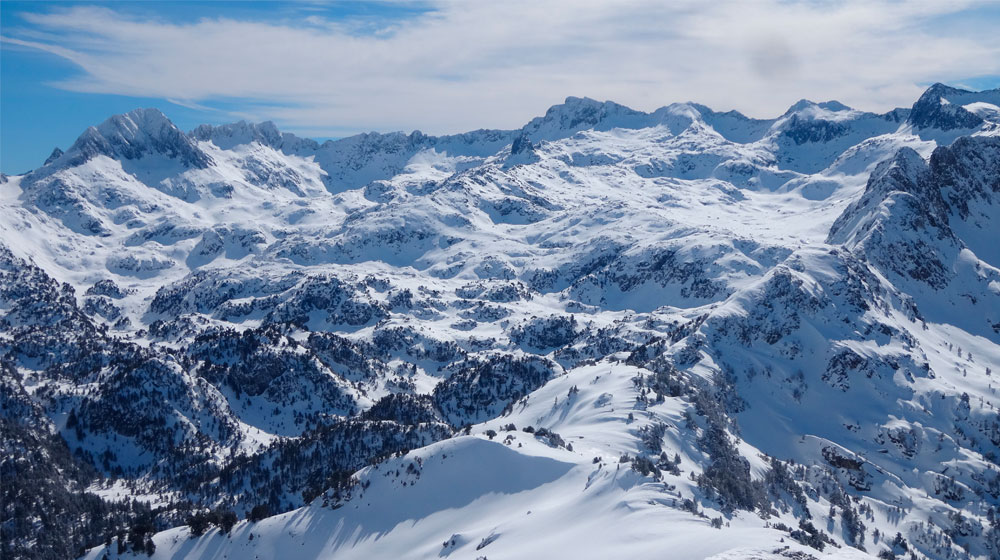
Circ de Colomèrs | Estanhs de Colomèrs
Technical data
 Diffficulty: Easy
 Technical difficulty:S2
 Modality: Snowshoes
 Longitude: 5,5 km
 Time: 2h
 Elevation: +200
 Class avalanche terrain: Simple
Description
In addition to the popular short and long itineraries around the Colomers cirque, we’d like to propose this “intermediate” route in terms of distance and height difference to cover. The route will take you round many lakes and up close to the imposing peaks that surround the cirque. While the technical difficulty of the hike is low and the ground is even, we recommend doing this route in good weather and visibility to find your way better and admire the spectacular scenery.
If you’ve spent the night at the mountain shelter, you’ll need to go back to the old shelter and cross the dam. Head in this direction to reach the Coret deth Clòto. Don’t go down to the Clòto lakes you’ll see ahead, but instead walk south towards the Estanh Long. Continue up the valley, past the Estanh Redon and towards the more prominent Estanh Obago, with the stunning face and northwest slope of Tuc de Ratèra as a backdrop. Approximately halfway along the shore, where there’s a small peninsula, turn westwards to follow a small valley that leads to a plateau with Estanhs des Gargolhes and Estanh des Cabos in the foreground. Carry on westwards, with gentle ups and downs, past the small Lake Plan and then Garguilhs de Jos up to Estanh Mòrt. From here, take the path coming from Coma deth Pòrt de Caldes northwards and in no time you’ll be back at the Colomers Mountain Shelter.


