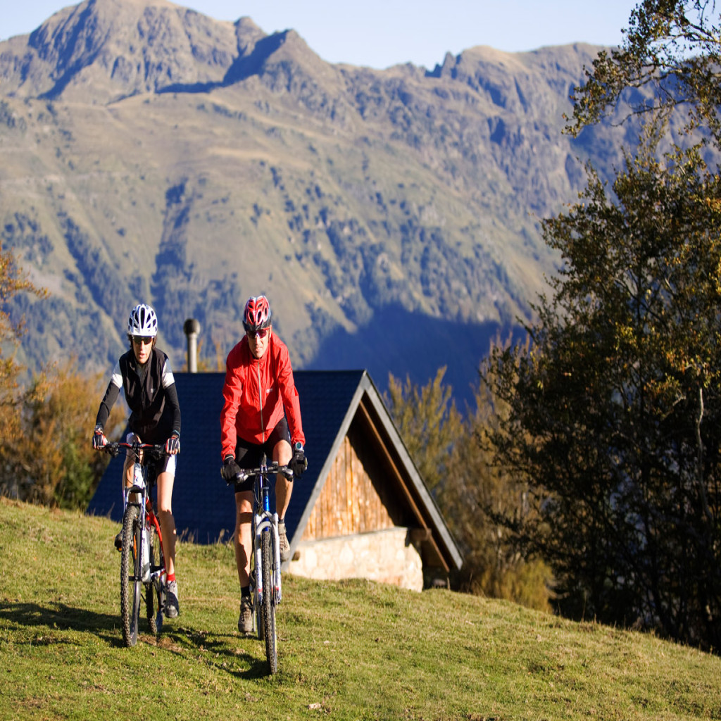
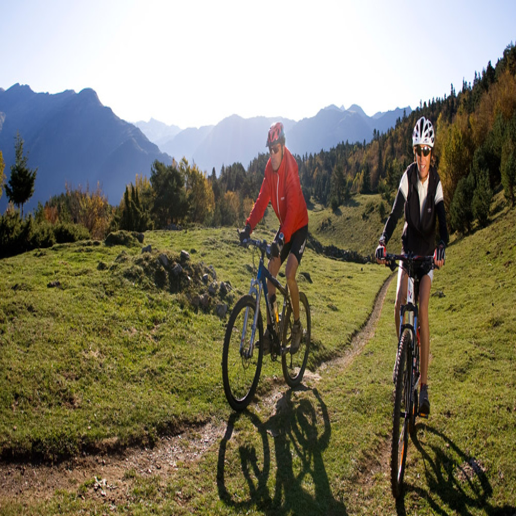
Guided e-bike route Beret-Montgarri winter
Dare to live a unique winter adventure on two wheels in the snow!
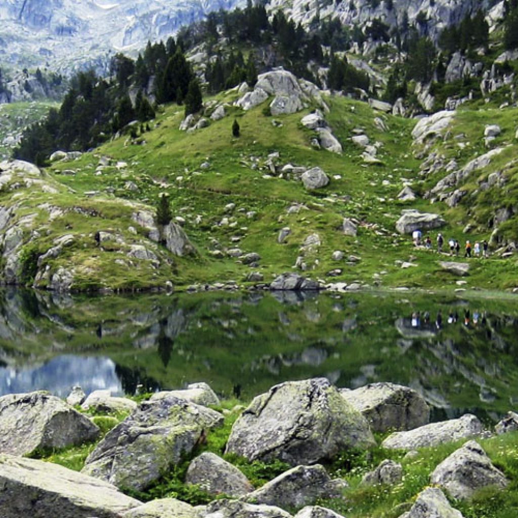
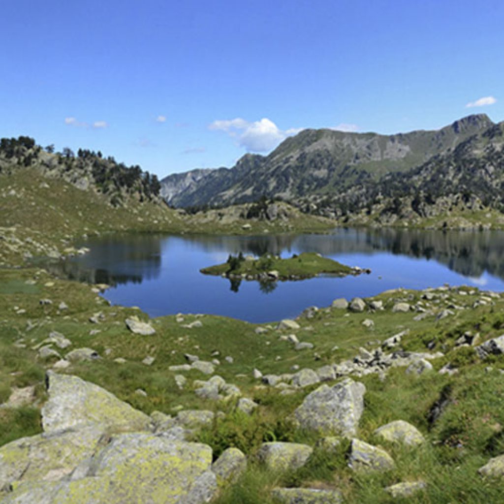
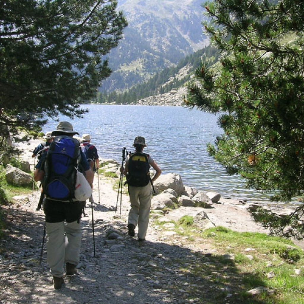
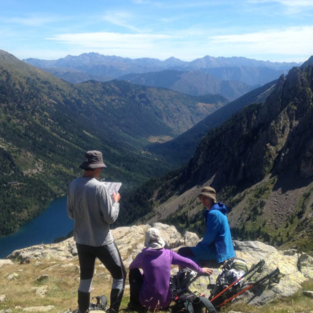
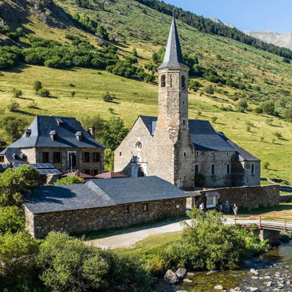
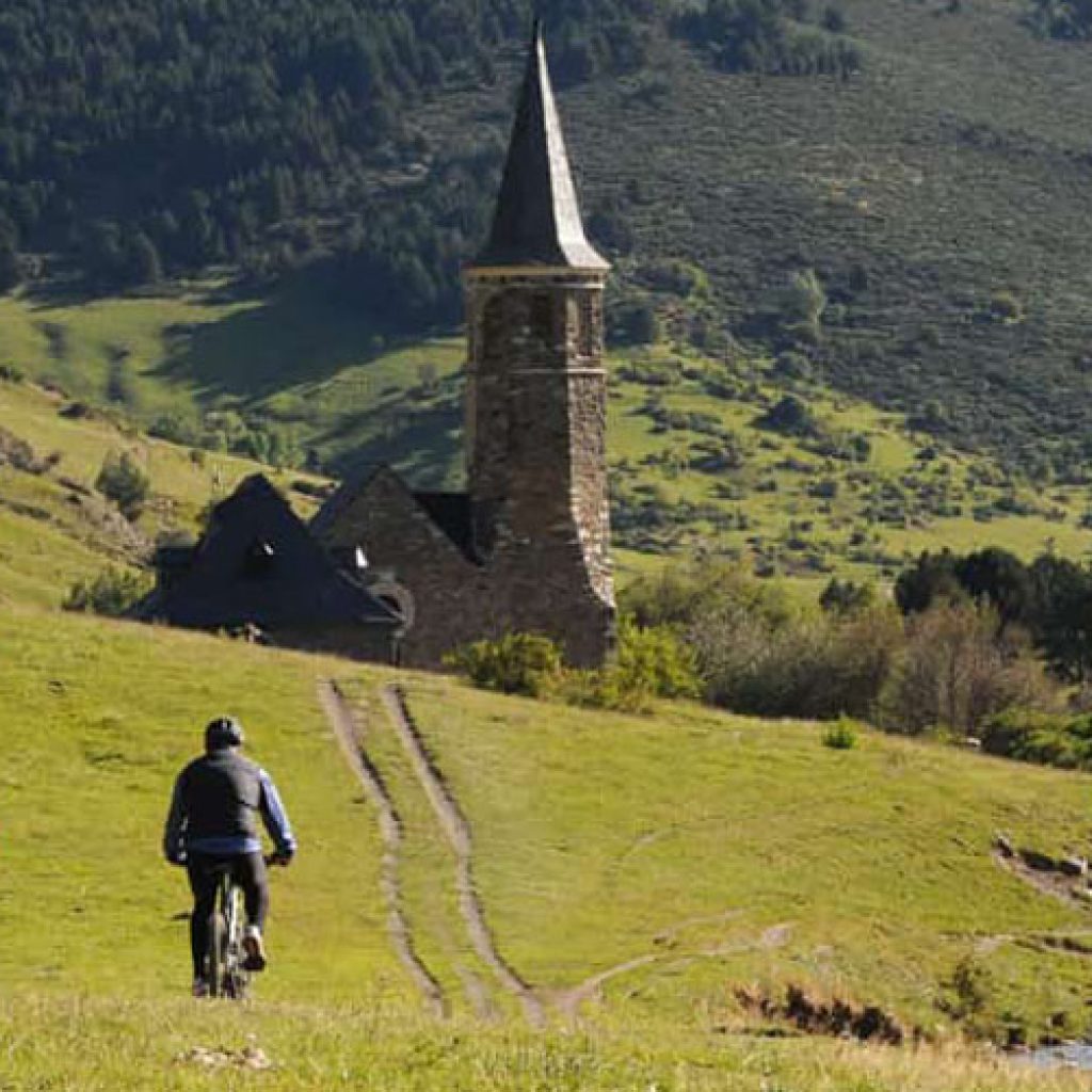
Discover the excitement of the most famous circular route, ideal for all levels. We start in Pla de Beret, in the Baqueira Beret ski resort, following a track laid out to Marimanha and the charming Sanctuary of Montgarri.
There, we will stop briefly to take a breather before heading back down the other side of the hill to our starting point. With our innovative wheels equipped with 300 studs each, we will conquer even the most challenging corners of the road. Let nature envelop you as you move with confidence, finding beauty at every turn along the way.
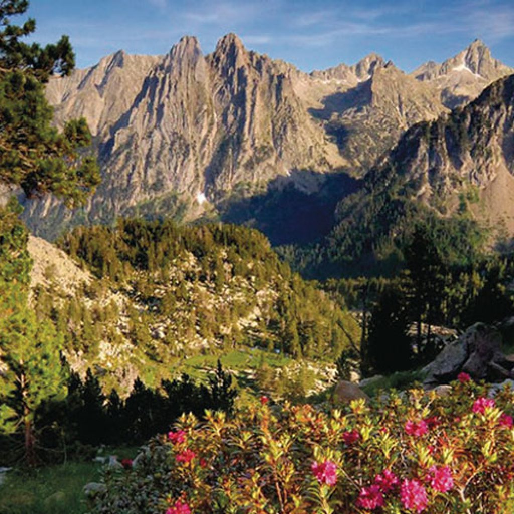
This adventure invites you to connect with the mountains and feel the renewing energy that only nature can provide. Get ready to live an unforgettable experience full of wonder and gratitude for the world around us!
Technical data
Length: 2h-3h
Languages: Spanish, Catalan, Aranese
Company: Aran Experience
Contact
www.aranexperience.com
reservas@nautviajes.com
973 640 087