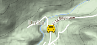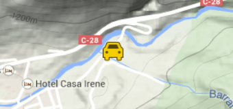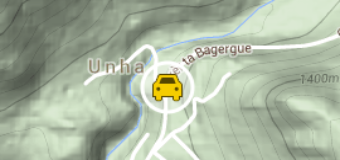
Route: Salardú- Bagergue-Bòrda Era Lana – Coll de Varradòs – Sauth de Pish- Pònt d’Arròs (opcional)
Difficulty: Medium
Type: 4×4
Description:
The valley faces N-S. This orientation, plus its rocky characteristics, means that unlike the rest of the valley vegetation here is rather sparse. In the high part lies the lake area of Liat, and an impressive mountain chain bordering on France, culminating in the 2880-m-high Tuc de Maubèrme. The whole valley still conserves numerous traces of the bustling mining activity of the beginning of the century. The river Unhòla washes the highest village of the Valley of Arán, Bagergue, (1419 m), rising in the far-off lakes of Liat, flowing into the Garona in the village of Salardú. At Salardú, take the B road that leads to the village of Bagergue (2.5 km). There is a junction 100 m from the centre of the village: the one on the right goes to el Pla de Beret, or you can go left towards Varradòs-Liat. Take the track to Varradòs. About 1.5 km along the track bear right up to the mines of Liat (4×4 only). Once at the top, the views of the Valley of Unhòla, Varradòs, Tuc de Maubèrme and practically the whole Valley of Arán are truly stunning. You can make your way back down along the same track or else go on until you reach the well-known Sauth deth Pish, which leads to the village of Pònt de Arròs (See the Sauth deth Pish route).